
Dindori, Madhya Pradesh
Town in Madhya Pradesh, India
Dindori, Madhya Pradesh ▸ Facts ▸ Comments ▸ News ▸ Videos
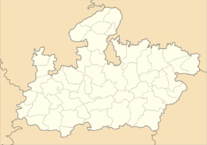
Dindori is a district of Madhya Pradesh state of central India. The town of Dindori is the district headquarters. It was created on 25th May, 1998 with total 927 villages. The district is a part of Jabalpur Division. The district covers an area of 7470 sq.km. and is located on the eastern part of Madhya Pradesh, bordering the state of Chhattisgarh. It is surrounded by Shahdol in the east, Mandla in the west, Umaria in the north, and Bilaspur district of the state of Chhattisgarh in the south. Mathematically, the district is situated between the latitudes 22.17N and 23.22N and longitudes 80.35E and 80.58E It is divided into seven blocks namely Dindori, Shahpura, Mehandwani, Amarpur, Bajag, Karanjiya and Samnapur.
| 0 shares | ShareTweetSavePostSend |
You Might Like
BJP hopes onions won’t leave it weepy in DindoriIndiaTimes - Published | |
14 dead, several others injured after pick-up truck meets with accident in Madhya Pradesh's DindoriMadhya Pradesh Chief Minister Dr Mohan Yadav expressed condolence over the tragic road mishap and announced a financial assistance of Rs 4 lakh each to the kin of the accident victims.DNA - Published | |
Ahead of polls, security beefed up in three Maoist-hit districts in Madhya PradeshSecurity arrangements have been heightened in Balaghat, Mandla, and Dindori districts in Madhya Pradesh, which are considered to be Maoist affected, ahead of the upcoming elections. Polling in these..IndiaTimes - Published | |
| Search this site and the web: |