
Supermoon Combined With Hurricane Idalia Could Raise Tides Higher As Storm Makes Landfall
Supermoon Combined With Hurricane Idalia Could Raise Tides Higher As Storm Makes Landfall
Supermoon Combined With Hurricane Idalia , Could Raise Tides Higher As Storm Makes Landfall.
Supermoon Combined With Hurricane Idalia , Could Raise Tides Higher As Storm Makes Landfall.
Hurricane Idalia made landfall in the Big Bend region of Florida on Aug.
30.
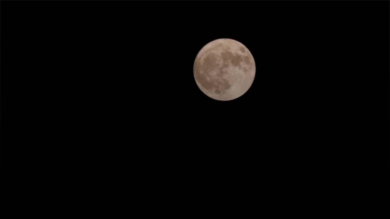
But a rare blue supermoon is making an appearance at the same time, which could exacerbate flooding in the area, AP reports.
.
But a rare blue supermoon is making an appearance at the same time, which could exacerbate flooding in the area, AP reports.
.
That's because a supermoon's increased gravitational pull can make tides higher.
.
The effect is caused by the moon being closer to the Earth.
Big Bend is particularly vulnerable to storm surge due to the fact that its continental shelf extends far from the coast.
Big Bend is particularly vulnerable to storm surge due to the fact that its continental shelf extends far from the coast.
It is also sloped, which makes it easier for water to penetrate land.
The National Hurricane Center is projecting up to 15 feet of storm surge along Florida's west coast.
The Tampa Bay area will likely be hit with up to 7 feet.
Georgia and South Carolina can also expect flooding as a result, AP reports.
.
I would say the timing is pretty bad for this one, Brian Haines, the meteorologist in charge at the National Weather Service office in Charleston, South Carolina, via AP.
Wednesday evening looks really nasty for coastal flooding here, Brian Haines, the meteorologist in charge at the National Weather Service office in Charleston, South Carolina, via AP.
An 8.2-foot tide is forecast for Charleston


![Hurricane Idalia batters south-eastern US causing storm surges and power outages [Video]](https://video.newsserve.net/300/v/20230831/1693475549-Hurricane-Idalia-batters-south-eastern-US-causing-storm.jpg)
![Tropical storm Idalia descends on North Carolina after pounding Florida, Georgia and South Carolina [Video]](https://video.newsserve.net/300/v/20230831/1357183698-Tropical-storm-Idalia-descends-on-North-Carolina-after.jpg)
![Expedition 69 Space Station Flies Over Hurricane Idalia Live [Video]](https://video.newsserve.net/300/v/20230831/1693467697-Expedition-69-Space-Station-Flies-Over-Hurricane-Idalia.jpg)