
Powerful 7.3 Magnitude Earthquake Strikes Chile's Antofagasta Region| Oneindia
Video Credit: Oneindia - Duration: 03:07s - Published
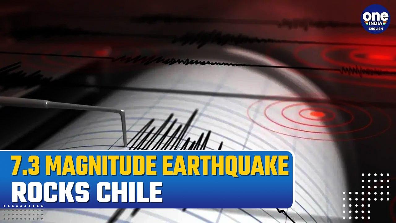
Powerful 7.3 Magnitude Earthquake Strikes Chile's Antofagasta Region| Oneindia
A powerful 7.3 magnitude earthquake struck 265 kilometers east of Antofagasta, Chile, on Thursday.
The United States Geological Survey reported the tremor occurred at a depth of 128 kilometers.
No tsunami warning was issued.
This event highlights Chile's vulnerability to seismic activity, as the country sits on the Pacific's "Ring of Fire." Chile has a history of significant earthquakes, including a record 9.5 magnitude quake in 1960 and an 8.8 magnitude event in 2010 that caused over 500 fatalities.
The region remains on alert for potential aftershocks.
#ChileEarthquake, #Antofagasta, #RingOfFire, #SeismicActivity, #NaturalDisaster ~PR.282~ED.155~HT.334~

![Humpback whale swallows, then releases, kayaker in Chilean Patagonia [Video]](https://video.newsserve.net/300/v/20250213/1401894578-Humpback-whale-swallows-then-releases-kayaker-in-Chilean.jpg)